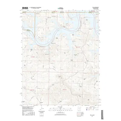
2017 Map of Peel
USGS Topo · Published 2017About this map
Bull Shoals Lake dominates the northern landscape of this region, its winding fingers creating deep coves like Three Finger Cove and Cow Cove along the border between Arkansas and Missouri. The settlement of Peel sits on a plateau overlooking the water, serving as a focal point for the surrounding rural area, while Monarch marks the southern extent of the map. The terrain is defined by a dense network of hollows, including Risley Hollow and Becky Hollow, which drain toward the lake's basin.
Find a feature on this map
114 named features on this map. Tap any name to fly to it.
Don’t see what you’re looking for? This feature index may not catch every label — zoom into the map to look around manually.
Map Details
Editions of this 2017 Peel Map
This is the sole edition of this map. No revisions or reprints were ever made.
Other maps of this area

1893 · Yellville
USGS Topo · 1:125,000

1903 · Yellville
USGS Topo · 1:125,000

1905 · Yellville
USGS Topo · 1:125,000

1929 · Yellville
USGS Topo · 1:125,000

1936 · Thornfield
USGS Topo · 1:48,000

1943 · Protem
USGS Topo · 1:62,500

1943 · Thornfield
USGS Topo · 1:62,500

1945 · Harrison
USGS Topo · 1:250,000

1945 · Thornfield
USGS Topo · 1:62,500

1949 · Harrison
USGS Topo · 1:250,000