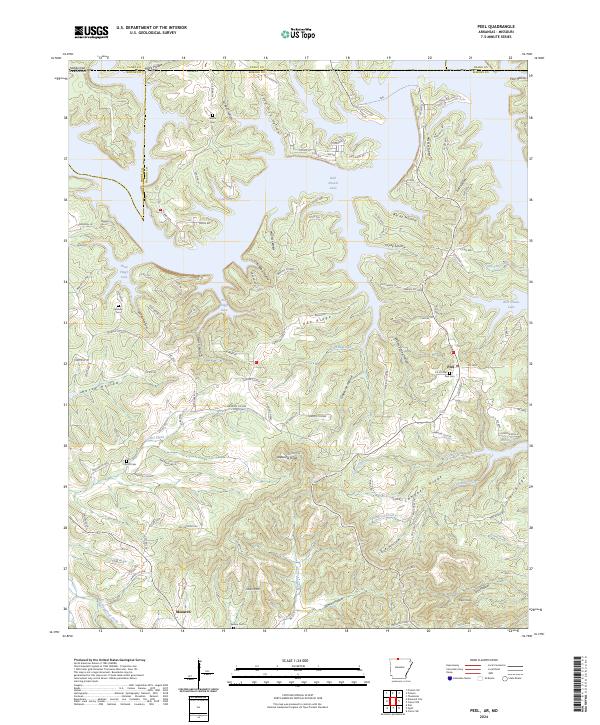
2024 Map of Peel
USGS Topo · Published 2024About this map
The northern reaches of Bull Shoals Lake dominate this landscape where the Ozark Plateau meets the Missouri-Arkansas border. This survey details a deeply dissected terrain characterized by family-named coves and hollows such as Becky Hollow and Five Finger Cove. The settlement of Peel serves as a local hub near the lake's edge, while Monarch sits further south near Short Mtn. Genealogists will find significant value in the distribution of rural burial grounds, including Peel Cem, Locust Cem, Upshaw Cem, and Riddle Cem, which are scattered among the ridges.
Find a feature on this map
134 named features on this map. Tap any name to fly to it.
Don’t see what you’re looking for? This feature index may not catch every label — zoom into the map to look around manually.
Map Details
Editions of this 2024 Peel Map
This is the sole edition of this map. No revisions or reprints were ever made.
Other maps of this area

1893 · Yellville
USGS Topo · 1:125,000

1903 · Yellville
USGS Topo · 1:125,000

1905 · Yellville
USGS Topo · 1:125,000

1929 · Yellville
USGS Topo · 1:125,000

1936 · Thornfield
USGS Topo · 1:48,000

1943 · Protem
USGS Topo · 1:62,500

1943 · Thornfield
USGS Topo · 1:62,500

1945 · Harrison
USGS Topo · 1:250,000

1945 · Thornfield
USGS Topo · 1:62,500

1949 · Harrison
USGS Topo · 1:250,000