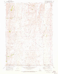
1970 Map of Pegram Creek
USGS Topo · Published 1973About this map
The Bear Lake Plateau dominates this 1970 landscape, straddling the state line where Idaho and Utah meet. This high-altitude terrain is defined by a series of deep drainages including Mahogany Canyon, Cooley Canyon, and Trastrum Hollow, which funnel seasonal waters toward the Bear Lake basin. The map reveals an area utilized for resources and transport rather than dense settlement, evidenced by a network of jeep trails, a pipeline, and scattered industrial sites. Industrial and agricultural infrastructure is present in the form of multiple storage bins, a drill hole, and a quarry. Water sources are critical in this arid upland, with numerous named springs appearing alongside seasonal runs like Pine Creek and Horse Creek, providing essential landmarks for local ranching and surveying history.
Find a feature on this map
30 named features on this map. Tap any name to fly to it.
Don’t see what you’re looking for? This feature index may not catch every label — zoom into the map to look around manually.
Map Details
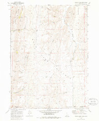
Editions of this 1970 Pegram Creek Map
2 editions found
Other maps of this area

1909 · Montpelier
USGS Topo · 1:125,000

1911 · Montpelier
USGS Topo · 1:125,000

1912 · Randolph
USGS Topo · 1:125,000

1954 · Ogden
USGS Topo · 1:250,000

1955 · Preston
USGS Topo · 1:250,000

1958 · Ogden
USGS Topo · 1:250,000

1958 · Preston
USGS Topo · 1:250,000

1960 · Ogden
USGS Topo · 1:250,000

1962 · Preston
USGS Topo · 1:250,000

1967 · Dingle
USGS Topo · 1:24,000