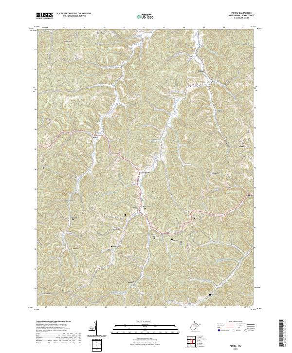
2023 Map of Peniel
USGS Topo · Published 2023About this map
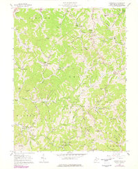
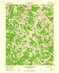
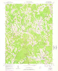
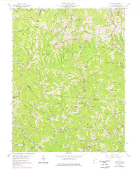
The hills of Roane County are defined by the intricate drainages of Middle Fork Reedy Creek and the Left Fork Reedy Creek, where small settlements like Reedyville, Peniel, and Vandalia follow the winding paths of the valley floors. This modern survey illustrates a landscape deeply connected to its rural roots, with a significant concentration of family and community burial grounds including Mount Zion Cem, Chrislip Cem, and Galahoe Cem.
Find a feature on this map
80 named features on this map. Tap any name to fly to it.
Don’t see what you’re looking for? This feature index may not catch every label — zoom into the map to look around manually.
Map Details
Editions of this 2023 Peniel Map
This is the sole edition of this map. No revisions or reprints were ever made.
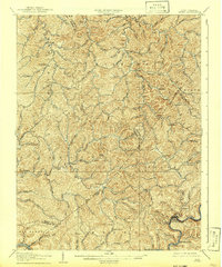
Historical Maps of Barrs Through Time
18 maps found

1906 Otter
Roane County, WV

1906 Walton
Roane County, WV
1907 Otter
Roane County, WV
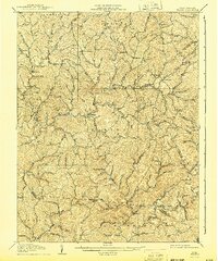
1907 Walton
Roane County, WV
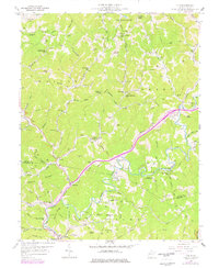
1957 Clio
Roane County, WV
1957 Looneyville
Roane County, WV
1957 Peniel
Roane County, WV
1957 Walton
Roane County, WV
1958 Kettle
Roane County, WV
1966 Newton
Roane County, WV

1966 Tariff
Roane County, WV
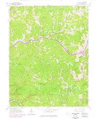
2023 Clio
Roane County, WV
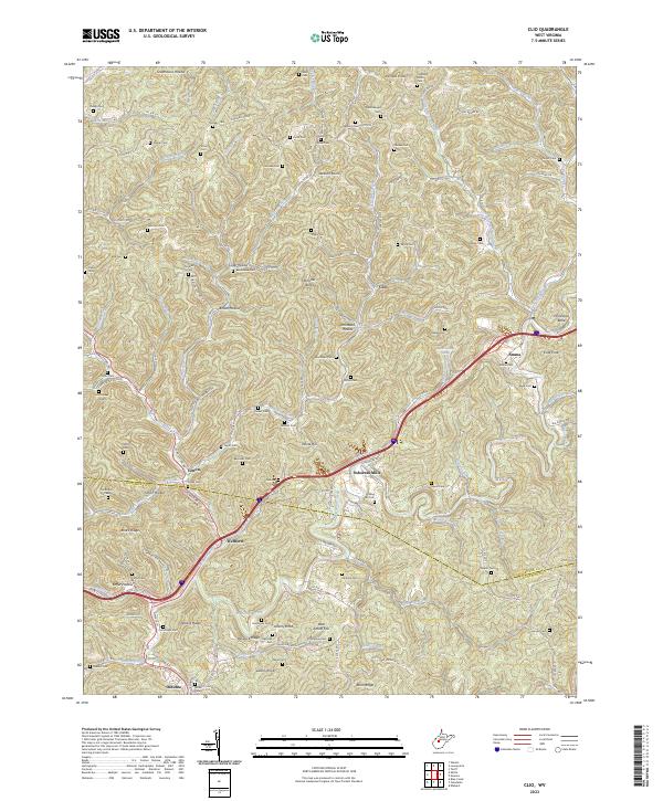
2023 Kettle
Roane County, WV
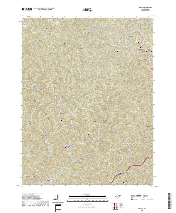
2023 Looneyville
Roane County, WV

2023 Newton
Roane County, WV
2023 Peniel
Roane County, WV
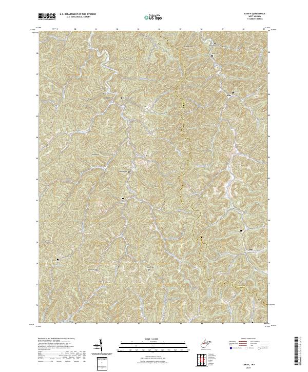
2023 Tariff
Roane County, WV
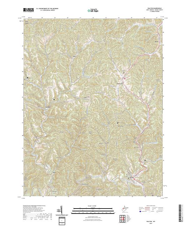
2023 Walton
Roane County, WV