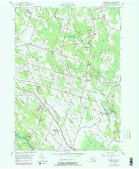
1956 Map of Pennellville
USGS Topo · Published 1978About this map
The Oswego Canal River defines the southwestern corner of this landscape, anchoring a rural network of hamlets and crossroads in Oswego County. Settlement patterns follow the high ground, with named communities like Pennellville and Gilbert Mills linked by roads such as Gilbert Mills Road and Middleton Road. The 1970s revision highlights changes in transportation and land use, showing the Conrail line running through the territory alongside the older Old Railroad Grade. This layer of development is balanced by significant wetland and water features, including Peter Scott Swamp and Beaver Meadow Creek. Genealogy researchers will find several well-defined burial sites, such as Southwest Palermo Cem and Volney Cem, while local history is marked by landmarks like the Bristol Hill Ch and the recreational grounds of Camp Talooli near Lake Temalo.
Find a feature on this map
57 named features on this map. Tap any name to fly to it.
Don’t see what you’re looking for? This feature index may not catch every label — zoom into the map to look around manually.
Map Details
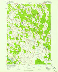
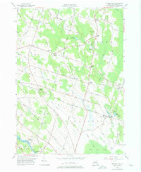
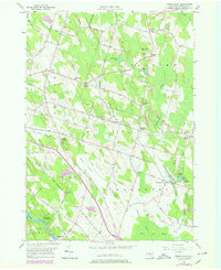
Editions of this 1956 Pennellville Map
4 editions found
Other maps of this area

1895 · Syracuse
USGS Topo · 1:62,500

1898 · Syracuse
USGS Topo · 1:62,500

1900 · Baldwinsville
USGS Topo · 1:62,500

1900 · Fulton
USGS Topo · 1:62,500

1905 · Mexico
USGS Topo · 1:62,500

1940 · Brewerton
USGS Topo · 1:24,000

1943 · Oswego East
USGS Topo · 1:31,680

1943 · Lysander
USGS Topo · 1:31,680

1943 · New Haven
USGS Topo · 1:31,680

1943 · Brewerton
USGS Topo · 1:31,680