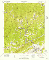
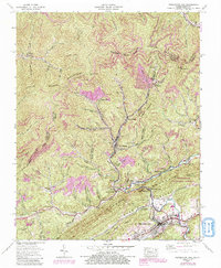
1955 Map of Pennington Gap
USGS Topo · Published 1956About this map
The Louisville & Nashville RR and Southern Ry anchor the industrial landscape of the Virginia-Kentucky border, where coal mining operations like Nolansburg No 2 and Nolansburg No 4 drive the local economy. The terrain is defined by the sharp elevations of Little Black Mountain and Stone Mountain, with settlements such as St Charles, Bonny Blue, and Pennington Gap concentrated along the narrow valley floors.
Find a feature on this map
75 named features on this map. Tap any name to fly to it.
Don’t see what you’re looking for? This feature index may not catch every label — zoom into the map to look around manually.
Map Details
Editions of this 1955 Pennington Gap Map
5 editions found
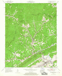
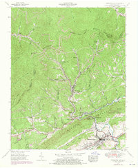
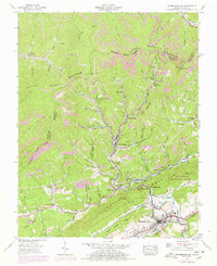
Other maps of this area

1887 · Jonesville
USGS Topo · 1:125,000

1891 · Jonesville
USGS Topo · 1:125,000

1894 · Estillville
USGS Topo · 1:125,000

1916 · Nolansburg
USGS Topo · 1:48,000

1919 · Nolansburg
USGS Topo · 1:62,500

1921 · Big Stone Gap
USGS Topo · 1:48,000

1922 · Big Stone Gap
USGS Topo · 1:62,500

1929 · Big Stone Gap
USGS Topo · 1:62,500

1935 · Hubbard Springs
USGS Topo · 1:24,000
1935 · Evarts
USGS Topo · 1:24,000