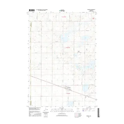
2016 Map of Pennock
USGS Topo · Published 2016About this map
The town of Pennock anchors the southern half of this landscape, situated at the intersection of a significant rail-aligned corridor including Atlantic Ave NE and Pacific Ave SE. This glacial till plain in Kandiyohi County is defined by a dense network of prairie potholes and larger water bodies such as Swan Lake, Mamre Lake, and W Solomon Lake. The drainage patterns of Shakopee Cr and Mud Cr wind through a strictly gridded section-line road system, which reflects the late 19th-century land division that organized this agricultural region.
Find a feature on this map
57 named features on this map. Tap any name to fly to it.
Don’t see what you’re looking for? This feature index may not catch every label — zoom into the map to look around manually.
Map Details
Editions of this 2016 Pennock Map
This is the sole edition of this map. No revisions or reprints were ever made.
Other maps of this area

1953 · Saint Cloud
USGS Topo · 1:250,000

1957 · Saint Cloud
USGS Topo · 1:250,000

1958 · Saint Cloud
USGS Topo · 1:250,000

1958 · Kerkhoven SE
USGS Topo · 1:24,000

1958 · Kerkhoven
USGS Topo · 1:24,000

1958 · Raymond
USGS Topo · 1:24,000

1958 · Pennock
USGS Topo · 1:24,000

1958 · Willmar
USGS Topo · 1:24,000

1958 · Solomon Lake
USGS Topo · 1:24,000

1967 · Mount Tom
USGS Topo · 1:24,000