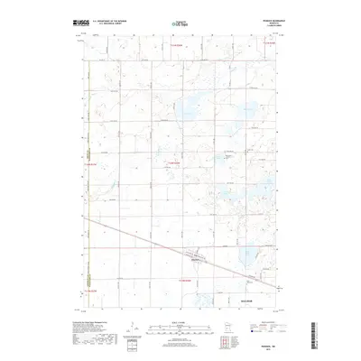
2019 Map of Pennock
USGS Topo · Published 2019About this map
Pennock serves as the central hub of this prairie landscape, where the flat agricultural terrain is punctuated by a dense network of glacial lakes and marshy depressions. Located west of the expanding edge of Willmar, the area is defined by a series of significant water bodies including Swan Lake, Mamre Lake, and Lindgren Lake. The mapping reveals a geometric grid of rural roads like 120th Ave NW and Kandi-Swift Rd that negotiate the winding paths of Shakopee Cr and Mud Cr.
Find a feature on this map
61 named features on this map. Tap any name to fly to it.
Don’t see what you’re looking for? This feature index may not catch every label — zoom into the map to look around manually.
Map Details
Editions of this 2019 Pennock Map
This is the sole edition of this map. No revisions or reprints were ever made.
Other maps of this area

1953 · Saint Cloud
USGS Topo · 1:250,000

1957 · Saint Cloud
USGS Topo · 1:250,000

1958 · Saint Cloud
USGS Topo · 1:250,000

1958 · Kerkhoven SE
USGS Topo · 1:24,000

1958 · Kerkhoven
USGS Topo · 1:24,000

1958 · Raymond
USGS Topo · 1:24,000

1958 · Pennock
USGS Topo · 1:24,000

1958 · Willmar
USGS Topo · 1:24,000

1958 · Solomon Lake
USGS Topo · 1:24,000

1967 · Mount Tom
USGS Topo · 1:24,000