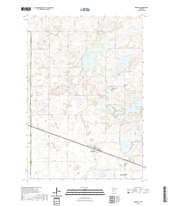
2022 Map of Pennock
USGS Topo · Published 2022About this map
Pennock sits at the heart of this prairie landscape, where the terrain is defined by a dense network of glacial lakes and small drainage creeks. To the south, the city of Willmar extends into the corner of the survey area, reflecting the regional growth of Kandiyohi County. The rural sections are dotted with established local landmarks, most notably the Mamrelund Lutheran Church and its accompanying Mamrelund Lutheran Cem. The distribution of these sites, alongside others like Salem Cem and Saint John's Cem, illustrates the deep-rooted community history and the early settlement patterns of the township system.
Find a feature on this map
42 named features on this map. Tap any name to fly to it.
Don’t see what you’re looking for? This feature index may not catch every label — zoom into the map to look around manually.
Map Details
Editions of this 2022 Pennock Map
This is the sole edition of this map. No revisions or reprints were ever made.
Other maps of this area

1953 · Saint Cloud
USGS Topo · 1:250,000

1957 · Saint Cloud
USGS Topo · 1:250,000

1958 · Saint Cloud
USGS Topo · 1:250,000

1958 · Kerkhoven SE
USGS Topo · 1:24,000

1958 · Kerkhoven
USGS Topo · 1:24,000

1958 · Raymond
USGS Topo · 1:24,000

1958 · Pennock
USGS Topo · 1:24,000

1958 · Willmar
USGS Topo · 1:24,000

1958 · Solomon Lake
USGS Topo · 1:24,000

1967 · Mount Tom
USGS Topo · 1:24,000