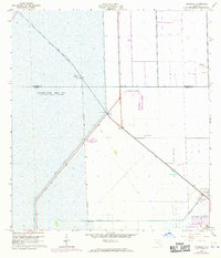
1963 Map of Pennsuco
USGS Topo · Published 1970About this map
Miami Canal and a network of water management infrastructure define this 1963 landscape on the edge of the Everglades. The map illustrates a transitional period in South Florida’s hydrology, where Levee No 30 and Levee No 33 border the vast Conservation Area No 3. Near the settlement of Pennsuco, the industrial character of the era is evident through several quarries and specialized utilities, including a Radio Facility and the WGBS radio towers. Significant drainage projects like the Snake Creek Canal and Pennsuco Canal cut through the terrain, while a simple Jeep Trail provides one of the few primitive routes across the low-lying interior. This survey documents the intersection of large-scale water control and early industrial extraction before the region's later suburban expansion.
Find a feature on this map
16 named features on this map. Tap any name to fly to it.
Don’t see what you’re looking for? This feature index may not catch every label — zoom into the map to look around manually.
Map Details
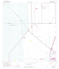
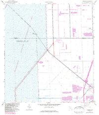
Editions of this 1963 Pennsuco Map
4 editions found
Other maps of this area

1949 · Opalocka
USGS Topo · 1:24,000

1950 · Hialeah
USGS Topo · 1:24,000

1956 · Miami
USGS Topo · 1:250,000

1956 · West Palm Beach
USGS Topo · 1:250,000

1957 · West Palm Beach
USGS Topo · 1:250,000

1958 · West Palm Beach
USGS Topo · 1:250,000

1958 · Miami
USGS Topo · 1:250,000
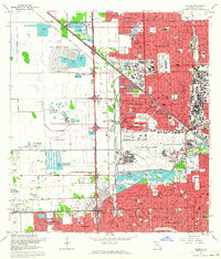
1962 · Hialeah
USGS Topo · 1:24,000

1962 · Opa-locka
USGS Topo · 1:24,000

1963 · Pennsuco
USGS Topo · 1:24,000