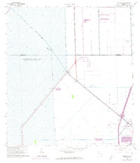
1963 Map of Pennsuco
USGS Topo · Published 1974About this map
The Miami Canal cuts a diagonal path through this South Florida landscape, where the managed waters of the Everglades meet early suburban and industrial expansion. The western half of the sheet is dominated by Conservation Area No 3, a vast hydrologic management zone defined by the No 33 Levee and other drainage structures. This period of the early 1960s shows the region in transition, balancing large-scale water control with emerging infrastructure.
Find a feature on this map
16 named features on this map. Tap any name to fly to it.
Don’t see what you’re looking for? This feature index may not catch every label — zoom into the map to look around manually.
Map Details
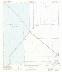
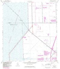
Editions of this 1963 Pennsuco Map
4 editions found
Other maps of this area

1949 · Opalocka
USGS Topo · 1:24,000

1950 · Hialeah
USGS Topo · 1:24,000

1956 · Miami
USGS Topo · 1:250,000

1956 · West Palm Beach
USGS Topo · 1:250,000

1957 · West Palm Beach
USGS Topo · 1:250,000

1958 · West Palm Beach
USGS Topo · 1:250,000

1958 · Miami
USGS Topo · 1:250,000
1962 · Hialeah
USGS Topo · 1:24,000

1962 · Opa-locka
USGS Topo · 1:24,000

1963 · Pennsuco
USGS Topo · 1:24,000