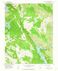
1962 Map of Penon Blanco Peak
USGS Topo · Published 1963About this map
The gold-bearing terrain of the California Mother Lode is prominent across this survey of the Tuolumne and Mariposa county line. Mining activity is heavily documented through numerous named workings, including the Solambo Mine, Buzzard Roost Mine, and New Years Mine, which dot the landscape from the Oat Hills to the slopes above Piney Creek. The rugged geography is defined by high points like Penon Blanco Peak and the steep walls of Piney Ridge.
Find a feature on this map
58 named features on this map. Tap any name to fly to it.
Don’t see what you’re looking for? This feature index may not catch every label — zoom into the map to look around manually.
Map Details
Editions of this 1962 Penon Blanco Peak Map
4 editions found
Other maps of this area

1893 · Sonora
USGS Topo · 1:125,000

1896 · Sonora
USGS Topo · 1:125,000

1897 · Sonora
USGS Topo · 1:125,000

1898 · Sonora
USGS Topo · 1:125,000

1915 · La Grange
USGS Topo · 1:24,000

1916 · Merced Falls
USGS Topo · 1:24,000
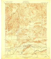
1918 · Snelling
USGS Topo · 1:31,680

1919 · La Grange
USGS Topo · 1:31,680

1919 · Merced Falls
USGS Topo · 1:31,680

1944 · Merced Falls
USGS Topo · 1:62,500