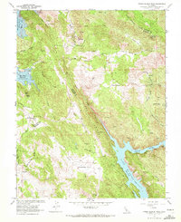
1962 Map of Penon Blanco Peak
USGS Topo · Published 1972About this map
Buzzard Roost Mine and Sclamboli Mine stand as markers of the mining activity that once defined this portion of the Sierra Nevada foothills in the early 1960s. The landscape is dominated by the steep drainage of the Merced River, which flows into Lake McClure, a massive reservoir whose normal pool elevation is recorded at 707 feet. Along the river's winding course, the Old Merced River Railroad Grade remains a visible industrial scar on the topography, tracing a path through Fortynine Gap.
Find a feature on this map
57 named features on this map. Tap any name to fly to it.
Don’t see what you’re looking for? This feature index may not catch every label — zoom into the map to look around manually.
Map Details
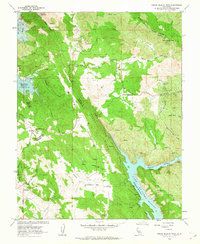
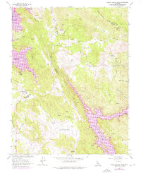
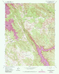
Editions of this 1962 Penon Blanco Peak Map
4 editions found
Other maps of this area

1893 · Sonora
USGS Topo · 1:125,000

1896 · Sonora
USGS Topo · 1:125,000

1897 · Sonora
USGS Topo · 1:125,000

1898 · Sonora
USGS Topo · 1:125,000

1915 · La Grange
USGS Topo · 1:24,000

1916 · Merced Falls
USGS Topo · 1:24,000
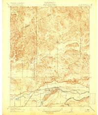
1918 · Snelling
USGS Topo · 1:31,680

1919 · La Grange
USGS Topo · 1:31,680

1919 · Merced Falls
USGS Topo · 1:31,680

1944 · Merced Falls
USGS Topo · 1:62,500