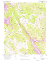
1962 Map of Penon Blanco Peak
USGS Topo · Published 1976About this map
The Tuolumne Co Mariposa Co border bisects this rugged gold country landscape, where the legacy of early California mining is etched into every ridge and gulch. Numerous hard-rock operations including the Solambo Mine, White Rock Mine, and Diamond Mine follow the geological veins of the Penon Blanco Ridge. This edition is particularly distinctive for its mapping of massive hydrological changes, showing the Lake McClure and Don Pedro Reservoir footprints over older terrain. Small family settlements and ranching hubs like Blanchard and Bonds Flat appear alongside local landmarks such as the Granite Spring Cem. The topography between Piney Ridge and Oat Hills reveals a landscape defined by deep gulches like Neg Gulch and Picture Gallery Gulch, tracing the transition from early mining claims to the era of large-scale water management.
Find a feature on this map
63 named features on this map. Tap any name to fly to it.
Don’t see what you’re looking for? This feature index may not catch every label — zoom into the map to look around manually.
Map Details
Editions of this 1962 Penon Blanco Peak Map
4 editions found
Other maps of this area

1893 · Sonora
USGS Topo · 1:125,000

1896 · Sonora
USGS Topo · 1:125,000

1897 · Sonora
USGS Topo · 1:125,000

1898 · Sonora
USGS Topo · 1:125,000

1915 · La Grange
USGS Topo · 1:24,000

1916 · Merced Falls
USGS Topo · 1:24,000
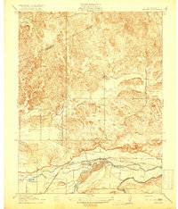
1918 · Snelling
USGS Topo · 1:31,680

1919 · La Grange
USGS Topo · 1:31,680

1919 · Merced Falls
USGS Topo · 1:31,680

1944 · Merced Falls
USGS Topo · 1:62,500