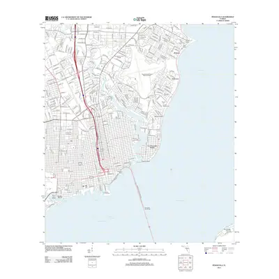
2012 Map of Pensacola
USGS Topo · Published 2012About this map
Escambia Bay and the intricate coastline of Pensacola Bay define the urban and industrial layout of this coastal Florida landscape. The waterfront is characterized by heavy maritime infrastructure, including the Pensacola Port Authority and Muscogee Wharf, which serve as the southern anchor for the city's grid. Further inland, the residential and institutional character of the area is evident through expansive campuses like Pensacola Junior College and the Pensacola Gulf Coast Regional Airport.
Find a feature on this map
69 named features on this map. Tap any name to fly to it.
Don’t see what you’re looking for? This feature index may not catch every label — zoom into the map to look around manually.
Map Details
Editions of this 2012 Pensacola Map
This is the sole edition of this map. No revisions or reprints were ever made.
Other maps of this area

1920 · Milton
USGS Topo · 1:62,500

1921 · Pensacola
USGS Topo · 1:62,500

1921 · Fort Barrancas
USGS Topo · 1:62,500

1921 · Muscogee
USGS Topo · 1:62,500

1941 · Fort Barrancas
USGS Topo · 1:62,500

1941 · Muscogee
USGS Topo · 1:62,500

1941 · Pensacola
USGS Topo · 1:62,500

1941 · Milton
USGS Topo · 1:62,500

1942 · Pensacola
USGS Topo · 1:62,500

1943 · Muscogee
USGS Topo · 1:62,500