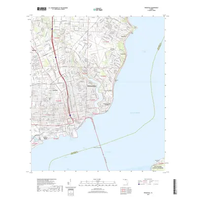
2018 Map of Pensacola
USGS Topo · Published 2018About this map
Pensacola and its surrounding communities are defined by a dense urban grid and an extensive shoreline along Escambia Bay and Pensacola Bay. This modern survey illustrates the growth of established neighborhoods like Goulding, Brent, and East Pensacola Heights, while the waterfront remains dominated by maritime channels and coastal landmarks. Significant historical and genealogical sites are scattered throughout the city, including the prominent Saint Michael's Cem and Saint John's Cem, which anchor the older downtown districts.
Find a feature on this map
62 named features on this map. Tap any name to fly to it.
Don’t see what you’re looking for? This feature index may not catch every label — zoom into the map to look around manually.
Map Details
Editions of this 2018 Pensacola Map
This is the sole edition of this map. No revisions or reprints were ever made.
Other maps of this area

1920 · Milton
USGS Topo · 1:62,500

1921 · Pensacola
USGS Topo · 1:62,500

1921 · Fort Barrancas
USGS Topo · 1:62,500

1921 · Muscogee
USGS Topo · 1:62,500

1941 · Fort Barrancas
USGS Topo · 1:62,500

1941 · Muscogee
USGS Topo · 1:62,500

1941 · Pensacola
USGS Topo · 1:62,500

1941 · Milton
USGS Topo · 1:62,500

1942 · Pensacola
USGS Topo · 1:62,500

1943 · Muscogee
USGS Topo · 1:62,500