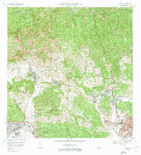
1972 Map of Penuelas
USGS Topo · Published 1974About this map
Peñuelas sits at the heart of this 1972 survey, where the rugged southern slopes of the Cordillera Central meet the expanding urban fringes of western Ponce. The landscape preserves a transition from traditional agricultural legacies, marked by scattered estates like Hacienda Esperanza, Hacienda Oliva, and Hacienda Batiz, to the developing residential sectors of Jardines del Caribe and Las Delicias. This period captures the town's growth along the Río Tallaboa, with community life centered around landmarks such as Iglesia San Mateo and the Estación de Aforo.
Find a feature on this map
80 named features on this map. Tap any name to fly to it.
Don’t see what you’re looking for? This feature index may not catch every label — zoom into the map to look around manually.
Map Details
Editions of this 1972 Penuelas Map
2 editions found
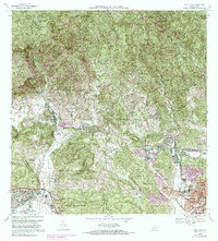
Other maps of this area

1945 · Playa De Ponce
USGS Topo · 1:30,000

1945 · Ponce
USGS Topo · 1:30,000

1946 · Punta Cuchara
USGS Topo · 1:30,000

1946 · Yauco
USGS Topo · 1:30,000

1946 · Jayuya
USGS Topo · 1:30,000

1946 · Monte Guilarte
USGS Topo · 1:30,000

1946 · Punta Verraco
USGS Topo · 1:30,000

1946 · Penuelas
USGS Topo · 1:30,000

1946 · Adjuntas
USGS Topo · 1:30,000
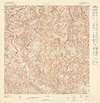
1947 · Yauco NE
USGS Topo · 1:10,000
Featured Places
- Peñuelas
- Sector La Gelpa, Peñuelas
- Sector La Vaquería, Ponce
- Sector Loyola, Peñuelas
- Sector Los Cruz, Ponce