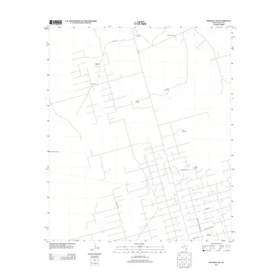
2012 Map of Penwell SW
USGS Topo · Published 2012About this map
Armer Oil Field and the Warren Gas Plant anchor this industrial landscape in Crane County, where energy extraction and ranching infrastructures define the terrain. The map reveals an intricate network of local service roads and ranching paths, including Red House Rd and Sandhills Ranch Rd, which navigate the arid West Texas plains. Scattered throughout the quadrangle are numerous water-pumping landmarks essential to regional operations, such as House Windmill, Old House Windmill, and Hardland Windmill. The presence of Windmill Number Nine and the Sandhills Headquarters Rd reflects the practical organization of large-scale land management. This survey provides a clear view of the intersection between the petroleum industry and traditional ranching life, documented at a time when these systems were the primary drivers of the local economy.
Find a feature on this map
18 named features on this map. Tap any name to fly to it.
Don’t see what you’re looking for? This feature index may not catch every label — zoom into the map to look around manually.
Map Details
Editions of this 2012 Penwell SW Map
This is the sole edition of this map. No revisions or reprints were ever made.
Other maps of this area

1954 · Pecos
USGS Topo · 1:250,000

1957 · Pecos
USGS Topo · 1:250,000

1964 · Metz
USGS Topo · 1:24,000

1964 · Penwell SW
USGS Topo · 1:24,000

1964 · Penwell
USGS Topo · 1:24,000

1964 · Penwell SE
USGS Topo · 1:24,000

1968 · Monahans SE
USGS Topo · 1:24,000

1968 · Cowden Place
USGS Topo · 1:24,000

1969 · Ozark Lake
USGS Topo · 1:24,000

1974 · Tubbs Corner
USGS Topo · 1:24,000