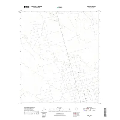
2019 Map of Penwell SW
USGS Topo · Published 2019About this map
The arid ranchlands of Crane County are mapped here in high detail, illustrating a landscape defined by industrial infrastructure and legacy family holdings. The road network reflects the area's dual character, where historic cattle operations and energy production intersect. Principal thoroughfares such as Mcknight Ranch Rd and Sandhills Ranch Rd provide access across the terrain, while the presence of the Sandhills Warren Plant Rd indicates the vital industrial facilities that support the local economy. The terrain is marked by a complex system of local access roads and trails, including Fuller Rd and Shumm Rd, which trace the patterns of land use across this West Texas expanse. For the researcher, the map preserves the exact alignment of ranch boundaries and plant access routes as they existed in the late 2010s.
Find a feature on this map
6 named features on this map. Tap any name to fly to it.
Don’t see what you’re looking for? This feature index may not catch every label — zoom into the map to look around manually.
Map Details
Editions of this 2019 Penwell SW Map
This is the sole edition of this map. No revisions or reprints were ever made.
Other maps of this area

1954 · Pecos
USGS Topo · 1:250,000

1957 · Pecos
USGS Topo · 1:250,000

1964 · Metz
USGS Topo · 1:24,000

1964 · Penwell SW
USGS Topo · 1:24,000

1964 · Penwell
USGS Topo · 1:24,000

1964 · Penwell SE
USGS Topo · 1:24,000

1968 · Monahans SE
USGS Topo · 1:24,000

1968 · Cowden Place
USGS Topo · 1:24,000

1969 · Ozark Lake
USGS Topo · 1:24,000

1974 · Tubbs Corner
USGS Topo · 1:24,000