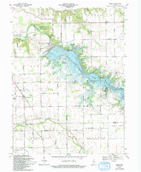
1969 Map of Peoria
USGS Topo · Published 1994About this map
The Mississinewa River and the expansive Mississinewa Lake dominate this 1969 topographic survey, which captures the boundary lands of Miami and Wabash counties. The landscape is a mix of protected natural areas and established rural communities, featuring the Frances Slocum State Forest and the striking Cliffs of the Seven Double Pillars. Settled areas like Peoria and Santa Fe are detailed alongside numerous local landmarks that offer significant value for genealogical research.
Find a feature on this map
44 named features on this map. Tap any name to fly to it.
Don’t see what you’re looking for? This feature index may not catch every label — zoom into the map to look around manually.
Map Details
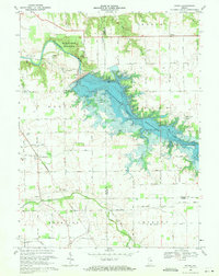
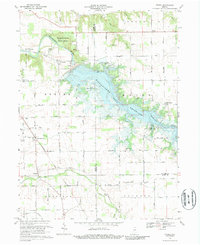
Editions of this 1969 Peoria Map
3 editions found
Other maps of this area

1951 · Peru
USGS Topo · 1:24,000

1951 · Bunker Hill
USGS Topo · 1:24,000

1951 · Richvalley
USGS Topo · 1:24,000

1952 · Wabash
USGS Topo · 1:24,000

1953 · Somerset
USGS Topo · 1:24,000

1953 · Peoria
USGS Topo · 1:24,000

1953 · Danville
USGS Topo · 1:250,000

1953 · Muncie
USGS Topo · 1:250,000

1955 · Danville
USGS Topo · 1:250,000

1956 · Muncie
USGS Topo · 1:250,000