
1905 Map of Peoria
USGS Topo · Published 1905About this map
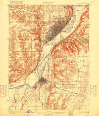
Peoria and Pekin anchor this 1905 survey, illustrating a dense network of river-and-rail infrastructure along the Illinois River at the turn of the century. The map reveals the early industrial and social footprint of the region, from the Orchard Mines near Hollis to the sprawling rail yards connecting the Chicago Burlington and Quincy RR and several other major lines. Notable social institutions of the era are clearly marked, including the Insane Asylum in Bartonville and a Poor Farm located in the western bluffs.
Find a feature on this map
61 named features on this map. Tap any name to fly to it.
Don’t see what you’re looking for? This feature index may not catch every label — zoom into the map to look around manually.
Map Details
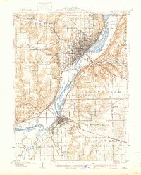
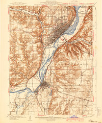
Editions of this 1905 Peoria Map
4 editions found
Other maps of this area

1893 · Metamora
USGS Topo · 1:62,500

1893 · Dunlap
USGS Topo · 1:62,500

1898 · Dunlap
USGS Topo · 1:62,500

1927 · Peoria
USGS Topo · 1:62,500

1928 · Mackinaw
USGS Topo · 1:62,500

1929 · Manito
USGS Topo · 1:62,500

1930 · Glasford
USGS Topo · 1:62,500

1932 · Mackinaw
USGS Topo · 1:62,500

1932 · Dunlap
USGS Topo · 1:62,500

1932 · Manito
USGS Topo · 1:62,500