
1953 Map of Peotone
USGS Topo · Published 1955About this map
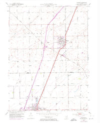
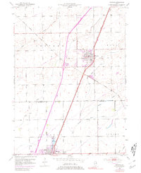
The village of Peotone stands as a central rail hub in the mid-1950s, defined by the intersection of the Illinois Central and the Chicago Milwaukee St Paul and Pacific railroads. This intersection governed the movement of goods and people across the prairie landscape of Will County, connecting the farming community to wider markets. The terrain is marked by a network of drainage ways, including Forked Creek and the South Branch Rock Creek, which traverse the flat agricultural lands.
Find a feature on this map
19 named features on this map. Tap any name to fly to it.
Don’t see what you’re looking for? This feature index may not catch every label — zoom into the map to look around manually.
Map Details
Editions of this 1953 Peotone Map
3 editions found
Other maps of this area

1922 · Momence
USGS Topo · 1:62,500

1922 · Kankakee
USGS Topo · 1:62,500

1924 · Momence
USGS Topo · 1:62,500

1924 · Kankakee
USGS Topo · 1:62,500

1929 · Brisbane
USGS Topo · 1:24,000

1930 · Frankfort
USGS Topo · 1:24,000

1930 · Steger
USGS Topo · 1:24,000

1949 · Peotone
USGS Topo · 1:62,500

1949 · Crete
USGS Topo · 1:62,500
1953 · Steger
USGS Topo · 1:24,000