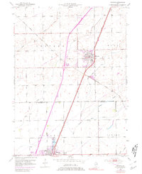
1953 Map of Peotone
USGS Topo · Published 1981About this map
The agricultural landscape of Peotone and Manteno is defined by a dense network of drainage and rail infrastructure during the mid-20th century. The village of Peotone serves as a central hub where the Illinois Central Gulf railroad bisects the town, paralleled by significant utility corridors marked by a Pipeline. To the southwest, the community of Manteno is anchored by Lake Manteno and a local Trailer Park, with family history preserved at Elmwood Cemetery and St Joseph Cemetery.
Find a feature on this map
23 named features on this map. Tap any name to fly to it.
Don’t see what you’re looking for? This feature index may not catch every label — zoom into the map to look around manually.
Map Details
Editions of this 1953 Peotone Map
3 editions found

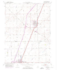
Other maps of this area

1922 · Momence
USGS Topo · 1:62,500

1922 · Kankakee
USGS Topo · 1:62,500

1924 · Momence
USGS Topo · 1:62,500

1924 · Kankakee
USGS Topo · 1:62,500

1929 · Brisbane
USGS Topo · 1:24,000

1930 · Frankfort
USGS Topo · 1:24,000

1930 · Steger
USGS Topo · 1:24,000

1949 · Peotone
USGS Topo · 1:62,500

1949 · Crete
USGS Topo · 1:62,500
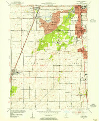
1953 · Steger
USGS Topo · 1:24,000