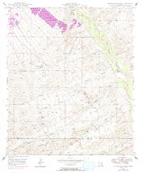
1948 Map of Peppersauce Wash
USGS Topo · Published 1973About this map
San Manuel emerges as a focal point of development in this desert landscape, with 1972 revisions captured in purple to show the expansion of the urban area. The terrain is defined by a series of drainage systems including Peppersauce Wash, Big Wash, and Catalina Wash, which all flow toward the San Pedro River in the east. This 1948 survey, updated decades later, illustrates the transition from a traditional ranching and mining environment to a more structured settlement.
Find a feature on this map
16 named features on this map. Tap any name to fly to it.
Don’t see what you’re looking for? This feature index may not catch every label — zoom into the map to look around manually.
Map Details
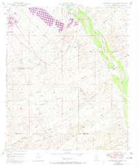
Editions of this 1948 Peppersauce Wash Map
3 editions found

Other maps of this area

1904 · Tucson
USGS Topo · 1:125,000

1905 · Tucson
USGS Topo · 1:125,000

1911 · Winkelman
USGS Topo · 1:125,000

1913 · Winkelman
USGS Topo · 1:125,000

1938 · Galiuro Mts
USGS Topo · 1:48,000

1943 · Galiuro Mts
USGS Topo · 1:62,500

1945 · Redington
USGS Topo · 1:62,500

1948 · Clark Ranch
USGS Topo · 1:24,000

1948 · Mammoth
USGS Topo · 1:62,500

1948 · Mammoth
USGS Topo · 1:24,000