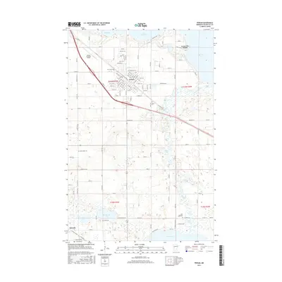
2016 Map of Perham
USGS Topo · Published 2016About this map
Perham sits at the center of this landscape in Otter Tail County, surrounded by a dense network of lakes and marshes characteristic of central Minnesota. The town's grid is anchored by W Coney and 7th St SW, with its spiritual and civic history preserved in numerous burial grounds such as Saint Stanislaus Cem, Saint Henry Cem, and Perham Cem. The Otter Tail River winds through the eastern portion of the map, connecting Little Pine Lake and Big Pine Lake, while the smaller Boedigheimer Lake and Rice Lake dot the western reaches near the village of Richville. This 2016 survey illustrates the modern layout of the region, including the Perham Municipal Airport and the residential expansion of Grand View Heights, showing how transportation and settlement patterns remain closely tied to the glacial hydrology of the area.
Find a feature on this map
121 named features on this map. Tap any name to fly to it.
Don’t see what you’re looking for? This feature index may not catch every label — zoom into the map to look around manually.
Map Details
Editions of this 2016 Perham Map
This is the sole edition of this map. No revisions or reprints were ever made.
Other maps of this area

1912 · Battle Lake
USGS Topo · 1:62,500

1914 · Battle Lake
USGS Topo · 1:62,500

1915 · Perham
USGS Topo · 1:62,500

1953 · Brainerd
USGS Topo · 1:250,000

1957 · Brainerd
USGS Topo · 1:250,000

1958 · Brainerd
USGS Topo · 1:250,000

1965 · Brainerd
USGS Topo · 1:250,000

1969 · New York Mills NW
USGS Topo · 1:24,000

1969 · Heinola
USGS Topo · 1:24,000

1969 · New York Mills West
USGS Topo · 1:24,000