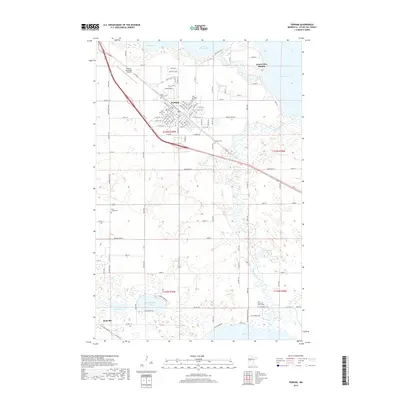
2019 Map of Perham
USGS Topo · Published 2019About this map
Perham sits at the center of this 2019 survey, defined by its position between the substantial waters of Little Pine Lake and Big Pine Lake. The city's grid is dense with local history markers, including Saint Henry Cem, Saint Paul Cem, and Saint Stanislaus Cem, while the Perham Municipal Airport serves the region to the northwest. This landscape is a complex network of glacial lakes and wetlands, where the Otter Tail River winds through the eastern portion of the quadrangle.
Find a feature on this map
108 named features on this map. Tap any name to fly to it.
Don’t see what you’re looking for? This feature index may not catch every label — zoom into the map to look around manually.
Map Details
Editions of this 2019 Perham Map
This is the sole edition of this map. No revisions or reprints were ever made.
Other maps of this area

1912 · Battle Lake
USGS Topo · 1:62,500

1914 · Battle Lake
USGS Topo · 1:62,500

1915 · Perham
USGS Topo · 1:62,500

1953 · Brainerd
USGS Topo · 1:250,000

1957 · Brainerd
USGS Topo · 1:250,000

1958 · Brainerd
USGS Topo · 1:250,000

1965 · Brainerd
USGS Topo · 1:250,000

1969 · New York Mills NW
USGS Topo · 1:24,000

1969 · Heinola
USGS Topo · 1:24,000

1969 · New York Mills West
USGS Topo · 1:24,000