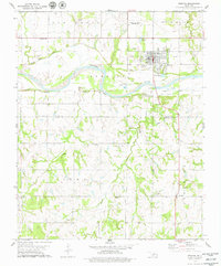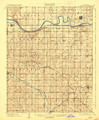
1909 Map of Perkins
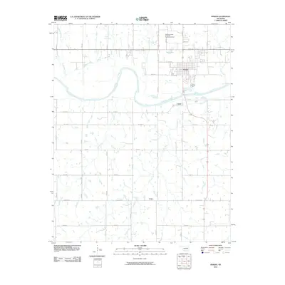
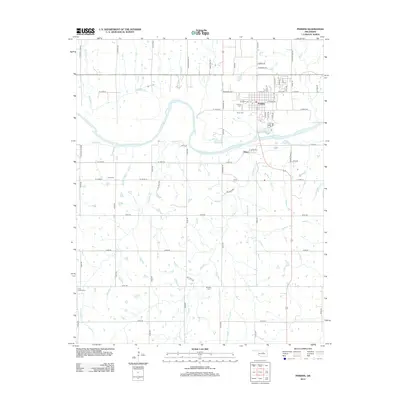
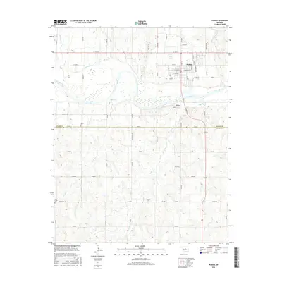
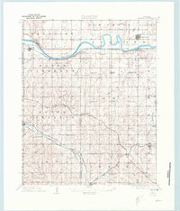
USGS Topo · Published 1937About this map
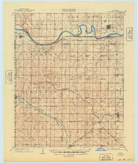
The Cimarron River winds across this landscape, defining the transition between the rolling uplands of Paradise and North Cimarron. Surveyed shortly after Oklahoma achieved statehood, the map reveals a dense network of rural infrastructure, particularly a remarkable concentration of district schools such as Eagle College School, Red Mound School, and Prairie Gem School serving early farmstead families. These small institutions, along with Mt Bethel Church, provided the social framework for pioneer communities established following the land runs.
Find a feature on this map
68 named features on this map. Tap any name to fly to it.
Don’t see what you’re looking for? This feature index may not catch every label — zoom into the map to look around manually.
Map Details
Editions of this 1909 Perkins Map
4 editions found

Historical Maps of Perkins Through Time
7 maps found