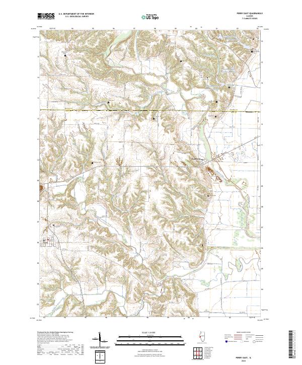
2024 Map of Perry East
USGS Topo · Published 2024About this map
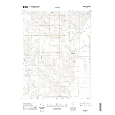
The boundary between Brown Co and Pike Co runs through this landscape defined by the intricate drainages of McKee Creek and its many tributaries. The area is characterized by a high concentration of small family and community burial grounds, such as Woods Cem, Hume Cem, and Suratt Cem, which are scattered throughout the wooded ravines and upland plains. These sites, along with others like Newenham Cem and Root Cem, offer significant points of interest for genealogists tracing early families in this part of Illinois.
Find a feature on this map
101 named features on this map. Tap any name to fly to it.
Don’t see what you’re looking for? This feature index may not catch every label — zoom into the map to look around manually.
Map Details
Editions of this 2024 Perry East Map
This is the sole edition of this map. No revisions or reprints were ever made.
Historical Maps of Perry Through Time
38 maps found
1975 Pittsfield SE
Pike County, IL
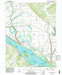
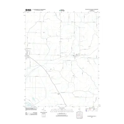
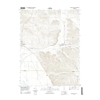
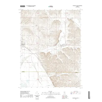
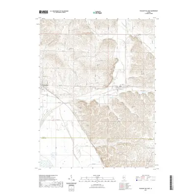
1978 Pleasant Hill East
Pike County, IL
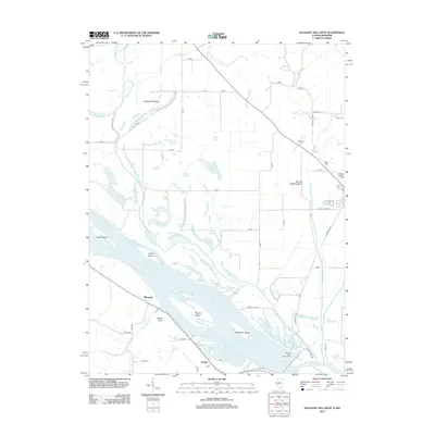
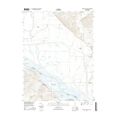
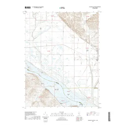
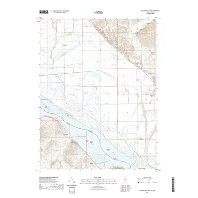
1978 Pleasant Hill West
Pike County, IL
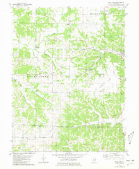
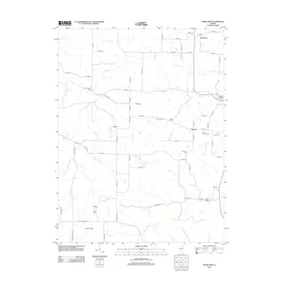
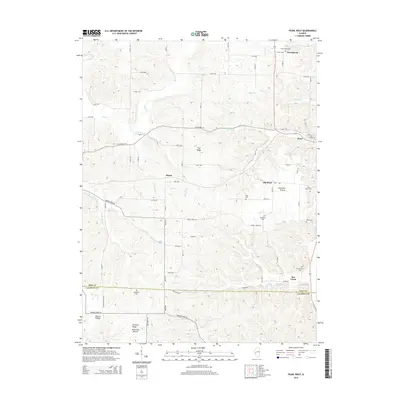
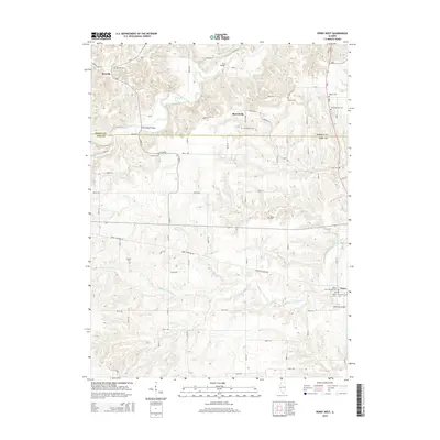
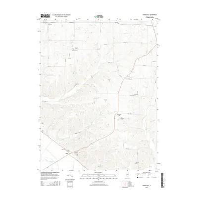
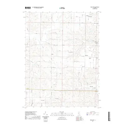
1980 Pearl West
Pike County, IL
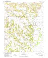
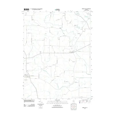
1980 Perry East
Pike County, IL
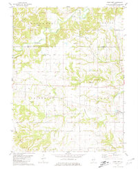
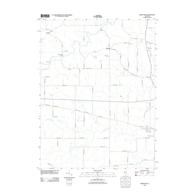
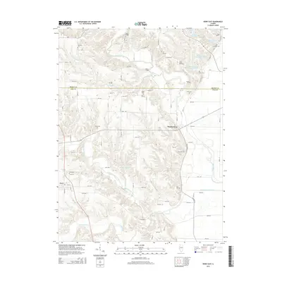
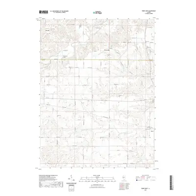
1981 Perry West
Pike County, IL
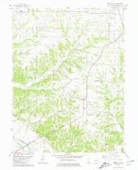
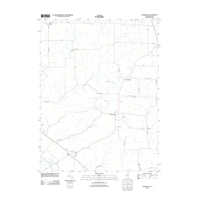
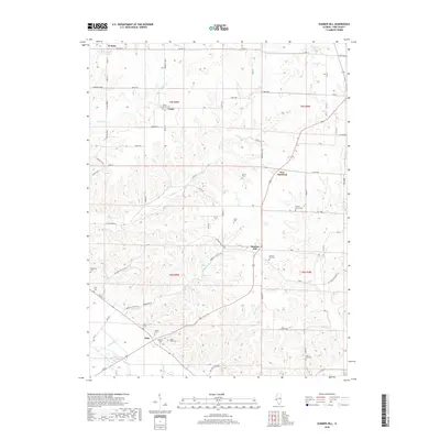
1981 Summer Hill
Pike County, IL
1993 Pleasant Hill West
Pike County, IL
2012 Pearl West
Pike County, IL
2012 Perry East
Pike County, IL
2012 Perry West
Pike County, IL
2012 Pleasant Hill East
Pike County, IL
2012 Pleasant Hill West
Pike County, IL
2012 Summer Hill
Pike County, IL
2015 Pearl West
Pike County, IL
2015 Perry East
Pike County, IL
2015 Perry West
Pike County, IL
2015 Pleasant Hill East
Pike County, IL
2015 Pleasant Hill West
Pike County, IL
2015 Summer Hill
Pike County, IL
2018 Pearl West
Pike County, IL
2018 Perry East
Pike County, IL
2018 Perry West
Pike County, IL
2018 Pleasant Hill East
Pike County, IL
2018 Pleasant Hill West
Pike County, IL
2018 Summer Hill
Pike County, IL
2021 Pearl West
Pike County, IL
2021 Perry East
Pike County, IL
2021 Perry West
Pike County, IL
2021 Pleasant Hill East
Pike County, IL
2021 Pleasant Hill West
Pike County, IL
2021 Summer Hill
Pike County, IL
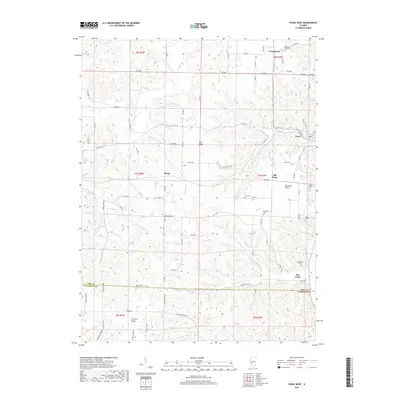
2024 Pearl West
Pike County, IL
2024 Perry East
Pike County, IL
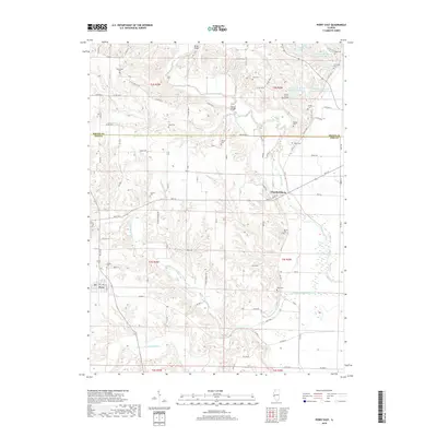
2024 Perry West
Pike County, IL
2024 Pleasant Hill East
Pike County, IL
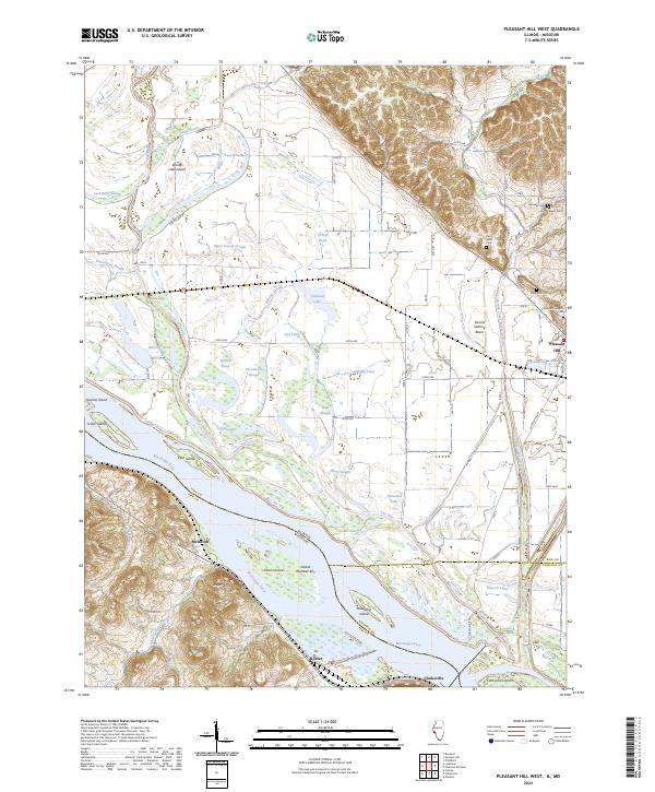
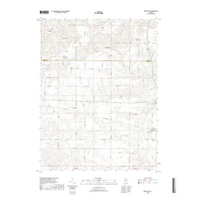
2024 Pleasant Hill West
Pike County, IL
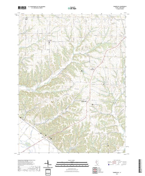
2024 Summer Hill
Pike County, IL