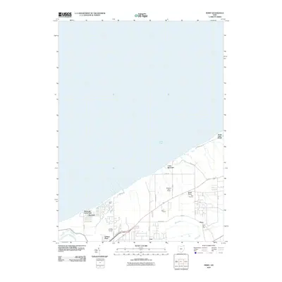
2010 Map of Perry
USGS Topo · Published 2010About this map
The Lake Erie shoreline defines the character of this Lake County landscape, where residential communities and seasonal camps meet the water's edge. In the western portion, Painesville-on-the-Lake and Shoreland sit near the mouth of McKinley Creek, while further east, Buena Vista Beach marks the coastal boundary. The map illustrates a transition from these lakefront settlements to the inland villages of North Perry and Perry, the latter serving as a local hub with its Perry Post Office and nearby Perry Cemetery.
Find a feature on this map
32 named features on this map. Tap any name to fly to it.
Don’t see what you’re looking for? This feature index may not catch every label — zoom into the map to look around manually.
Map Details
Editions of this 2010 Perry Map
This is the sole edition of this map. No revisions or reprints were ever made.
Other maps of this area
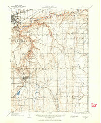
1904 · Chardon
USGS Topo · 1:62,500
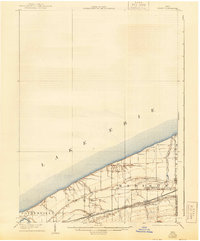
1905 · Perry
USGS Topo · 1:62,500
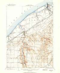
1905 · Mentor
USGS Topo · 1:62,500
1906 · Chardon
USGS Topo · 1:62,500
1907 · Mentor
USGS Topo · 1:62,500

1950 · Cleveland
USGS Topo · 1:250,000
1953 · Mentor
USGS Topo · 1:24,000
1956 · Cleveland
USGS Topo · 1:250,000
1960 · Painesville
USGS Topo · 1:24,000
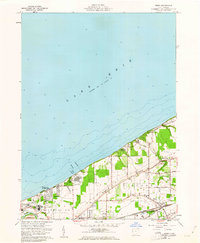
1960 · Perry
USGS Topo · 1:24,000