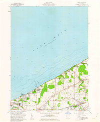
1960 Map of Perry
USGS Topo · Published 1961About this map
Lake Erie shoreline developments and established farm tracks define this coastal Lake County landscape in the early 1960s. The map illustrates the transition from the lakeside community of Painesville on-the-Lake and the residential cluster at Shoreland to the inland agricultural and transport corridors of Perry and North Perry. Transportation infrastructure is a central theme, with the New York Chicago and St Louis and New York Central and St Louis railroads running parallel to North Ridge, supporting the region's movement of goods and people.
Find a feature on this map
54 named features on this map. Tap any name to fly to it.
Don’t see what you’re looking for? This feature index may not catch every label — zoom into the map to look around manually.
Map Details
Editions of this 1960 Perry Map
4 editions found
Other maps of this area

1904 · Chardon
USGS Topo · 1:62,500

1905 · Perry
USGS Topo · 1:62,500

1905 · Mentor
USGS Topo · 1:62,500

1906 · Chardon
USGS Topo · 1:62,500

1907 · Mentor
USGS Topo · 1:62,500

1950 · Cleveland
USGS Topo · 1:250,000

1953 · Mentor
USGS Topo · 1:24,000

1956 · Cleveland
USGS Topo · 1:250,000
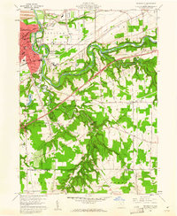
1960 · Painesville
USGS Topo · 1:24,000
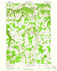
1960 · Thompson
USGS Topo · 1:24,000