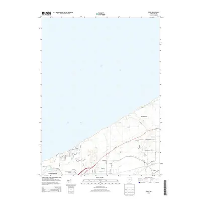
2013 Map of Perry
USGS Topo · Published 2013About this map
Lake Erie's southern shoreline anchors this coastal portion of Lake County, where the transition from lakefront residential areas to inland agricultural and nursery land is clearly visible. The village of North Perry sits prominently along the coast, with a network of established roads like Lockwood Rd and Parmly Rd serving the shoreline properties. Further south, the community of Perry and the outskirts of Painesville show more dense development, including the Blackacre Farm Airport and industrial or utility sites near the Grand River.
Find a feature on this map
59 named features on this map. Tap any name to fly to it.
Don’t see what you’re looking for? This feature index may not catch every label — zoom into the map to look around manually.
Map Details
Editions of this 2013 Perry Map
This is the sole edition of this map. No revisions or reprints were ever made.
Other maps of this area

1904 · Chardon
USGS Topo · 1:62,500

1905 · Perry
USGS Topo · 1:62,500

1905 · Mentor
USGS Topo · 1:62,500

1906 · Chardon
USGS Topo · 1:62,500

1907 · Mentor
USGS Topo · 1:62,500

1950 · Cleveland
USGS Topo · 1:250,000

1953 · Mentor
USGS Topo · 1:24,000

1956 · Cleveland
USGS Topo · 1:250,000
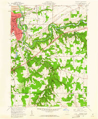
1960 · Painesville
USGS Topo · 1:24,000
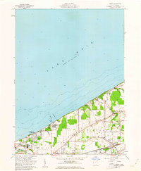
1960 · Perry
USGS Topo · 1:24,000