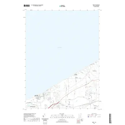
2019 Map of Perry
USGS Topo · Published 2019About this map
Lake Erie dominates the northern half of this coastal survey, where the shoreline of Lake County is defined by a series of lakefront settlements and shifting drainages. Residential communities such as Painesville on-the-Lake and Shoreland sit directly atop the bluffs, while the larger village of Perry is established further inland along the historic corridor of N Ridge Rd and the local rail lines. The landscape between the shore and the inland ridges is a mix of wooded creek beds like McKinley Cr and Red Cr, and small-scale infrastructure like the Blackacre Farm Airport. The southwestern corner is anchored by the reaches of the Grand River as it approaches Painesville, while local history is preserved at the Perry Cem and the grounds of Camp Roosevelt near the coast.
Find a feature on this map
65 named features on this map. Tap any name to fly to it.
Don’t see what you’re looking for? This feature index may not catch every label — zoom into the map to look around manually.
Map Details
Editions of this 2019 Perry Map
This is the sole edition of this map. No revisions or reprints were ever made.
Other maps of this area

1904 · Chardon
USGS Topo · 1:62,500

1905 · Perry
USGS Topo · 1:62,500

1905 · Mentor
USGS Topo · 1:62,500

1906 · Chardon
USGS Topo · 1:62,500

1907 · Mentor
USGS Topo · 1:62,500

1950 · Cleveland
USGS Topo · 1:250,000

1953 · Mentor
USGS Topo · 1:24,000

1956 · Cleveland
USGS Topo · 1:250,000
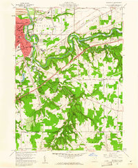
1960 · Painesville
USGS Topo · 1:24,000
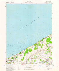
1960 · Perry
USGS Topo · 1:24,000