
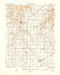
1945 Map of Perry
USGS Topo · Published 1945About this map
Lick Creek and its many tributaries, including Muddy Branch and Spencer Creek, carve a intricate drainage pattern through the plateau lands at the intersection of Ralls, Monroe, and Audrain counties. This mid-century survey illustrates a landscape defined by its rural infrastructure, where nearly every township section is anchored by a named schoolhouse such as Heavenridge Sch, West Lick Sch, or Tillett Sch. The presence of the St Louis and Hannibal (Abandoned) line alongside the modern St Louis and Hannibal Highway speaks to the shifting modes of transport as the region transitioned from rail-reliance to automotive travel.
Find a feature on this map
41 named features on this map. Tap any name to fly to it.
Don’t see what you’re looking for? This feature index may not catch every label — zoom into the map to look around manually.
Map Details
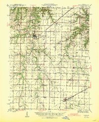
Editions of this 1945 Perry Map
3 editions found
Other maps of this area

1890 · Louisiana
USGS Topo · 1:125,000

1890 · Mexico
USGS Topo · 1:125,000

1903 · Palmyra
USGS Topo · 1:125,000

1932 · Mexico
USGS Topo · 1:62,500

1932 · Hannibal
USGS Topo · 1:62,500

1936 · Hannibal
USGS Topo · 1:48,000

1942 · Wellsville
USGS Topo · 1:62,500

1942 · Bellflower
USGS Topo · 1:62,500

1943 · Vandalia
USGS Topo · 1:62,500

1945 · Florida
USGS Topo · 1:62,500