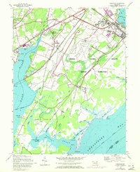
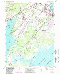
1948 Map of Perryman
USGS Topo · Published 1972About this map
The Perryman community and the surrounding Harford County landscape are defined here by a transition from industrial hubs to sprawling military reservations. To the northwest, the legacy of early industry is visible at Harford Furnace and its accompanying Harford Furnace School, while the eastern portion of the map is dominated by the Aberdeen Proving Ground Military Reservation. This massive installation features specialized infrastructure such as Phillips Field, several firing ranges, and a series of observation towers overlooking the Chesapeake Bay.
Find a feature on this map
62 named features on this map. Tap any name to fly to it.
Don’t see what you’re looking for? This feature index may not catch every label — zoom into the map to look around manually.
Map Details
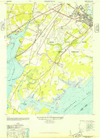
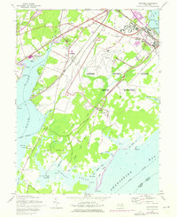
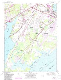
Editions of this 1948 Perryman Map
5 editions found
Other maps of this area

1893 · Gunpowder
USGS Topo · 1:62,500

1898 · Tolchester
USGS Topo · 1:125,000

1900 · Havre De Grace
USGS Topo · 1:62,500

1900 · Betterton
USGS Topo · 1:62,500

1901 · Belair
USGS Topo · 1:62,500

1901 · Gunpowder
USGS Topo · 1:62,500

1903 · Tolchester
USGS Topo · 1:125,000

1908 · Tolchester
USGS Topo · 1:125,000

1941 · Gunpowder
USGS Topo · 1:62,500

1942 · Havre De Grace
USGS Topo · 1:62,500