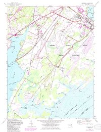
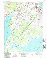
1948 Map of Perryman
USGS Topo · Published 1985About this map
The Aberdeen Proving Ground Military Reservation dominates this coastal landscape where the Bush River meets the Chesapeake Bay. Revised in the late 1940s, the map illustrates the heavy military footprint on Harford County's shoreline, featuring the Phillips Field airstrip and specialized infrastructure like the rifle range and pistol range. Despite the military expansion, older community hubs remain visible, including the Perryman settlement with its school and nearby Cranberry Church.
Find a feature on this map
62 named features on this map. Tap any name to fly to it.
Don’t see what you’re looking for? This feature index may not catch every label — zoom into the map to look around manually.
Map Details
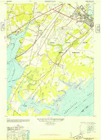
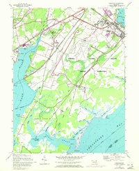
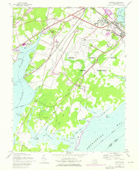
Editions of this 1948 Perryman Map
5 editions found
Other maps of this area

1893 · Gunpowder
USGS Topo · 1:62,500

1898 · Tolchester
USGS Topo · 1:125,000

1900 · Havre De Grace
USGS Topo · 1:62,500

1900 · Betterton
USGS Topo · 1:62,500

1901 · Belair
USGS Topo · 1:62,500

1901 · Gunpowder
USGS Topo · 1:62,500

1903 · Tolchester
USGS Topo · 1:125,000

1908 · Tolchester
USGS Topo · 1:125,000

1941 · Gunpowder
USGS Topo · 1:62,500

1942 · Havre De Grace
USGS Topo · 1:62,500