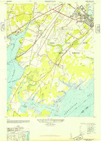
1948 Map of Perryman
USGS Topo · Published 1948About this map
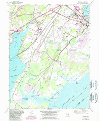
The Aberdeen Proving Ground Military Reservation dominates this Harford County landscape shortly after World War II, illustrating the heavy military footprint on the western shore of the Chesapeake Bay. The map captures the transition between civilian farm life and federal expansion, with established local landmarks like Spesutie Church and the Perryman School positioned near the sprawling military complex. To the south, the Poverty Island Area and Old Baltimore sit along the Bush River, showing a coastline defined by intricate inlets like Romney Creek and Sod Run.
Find a feature on this map
63 named features on this map. Tap any name to fly to it.
Don’t see what you’re looking for? This feature index may not catch every label — zoom into the map to look around manually.
Map Details
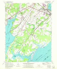
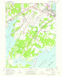
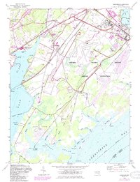
Editions of this 1948 Perryman Map
5 editions found
Other maps of this area

1893 · Gunpowder
USGS Topo · 1:62,500

1898 · Tolchester
USGS Topo · 1:125,000

1900 · Havre De Grace
USGS Topo · 1:62,500

1900 · Betterton
USGS Topo · 1:62,500

1901 · Belair
USGS Topo · 1:62,500

1901 · Gunpowder
USGS Topo · 1:62,500

1903 · Tolchester
USGS Topo · 1:125,000

1908 · Tolchester
USGS Topo · 1:125,000

1941 · Gunpowder
USGS Topo · 1:62,500

1942 · Havre De Grace
USGS Topo · 1:62,500