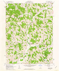
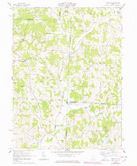
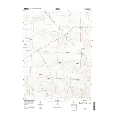
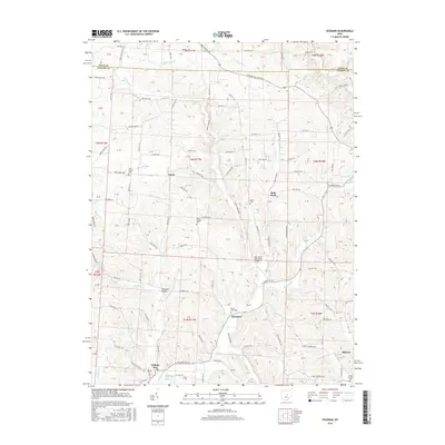
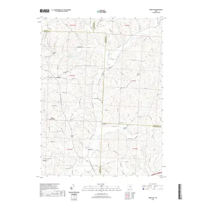
1962 Map of Perryton
USGS Topo · Published 1963About this map
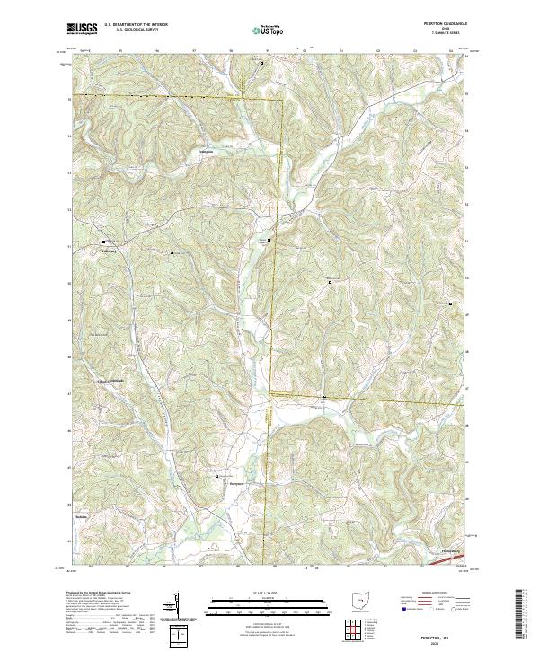
Wakatomika Creek carves a winding path through this rural landscape at the junction of Licking, Coshocton, and Muskingum counties. The early 1960s terrain is characterized by dispersed agricultural settlements like Perryton and Fallsburg, connected by a network of winding valley roads and numerous small stream crossings. The map documents several notable landmarks from an earlier era, including a Covered Bridge and the Ashcraft Ford, illustrating the localized transportation patterns before modern infrastructure predominated.
Find a feature on this map
41 named features on this map. Tap any name to fly to it.
Don’t see what you’re looking for? This feature index may not catch every label — zoom into the map to look around manually.
Map Details
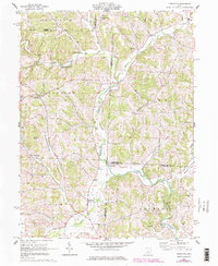
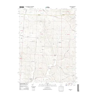
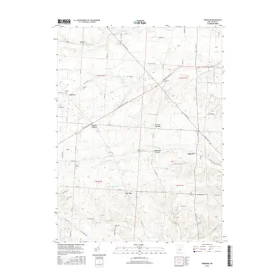
Editions of this 1962 Perryton Map
3 editions found
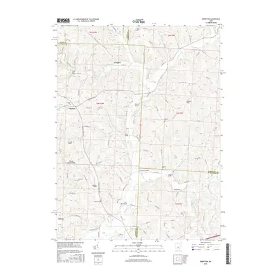
Historical Maps of Pike Township Through Time
18 maps found
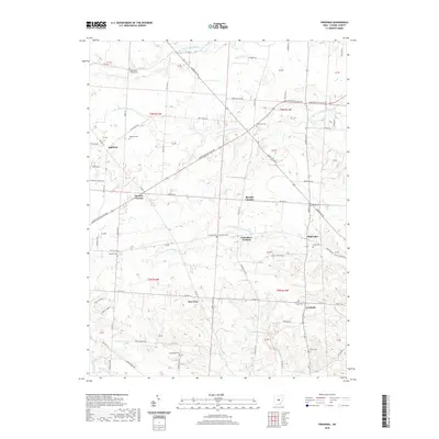
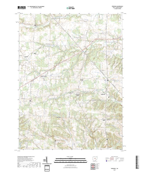
1961 Fredonia
Licking County, OH
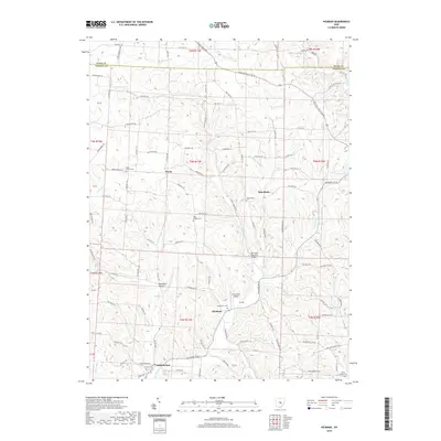
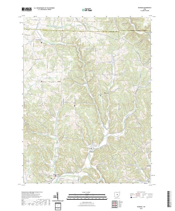
1961 Hickman
Licking County, OH
1962 Perryton
Licking County, OH
2010 Fredonia
Licking County, OH
2010 Hickman
Licking County, OH
2010 Perryton
Licking County, OH
2013 Fredonia
Licking County, OH
2013 Hickman
Licking County, OH
2013 Perryton
Licking County, OH
2016 Fredonia
Licking County, OH
2016 Hickman
Licking County, OH
2016 Perryton
Licking County, OH
2019 Fredonia
Licking County, OH
2019 Hickman
Licking County, OH
2019 Perryton
Licking County, OH
2023 Fredonia
Licking County, OH
2023 Hickman
Licking County, OH
2023 Perryton
Licking County, OH
Featured Locations
- Fallsbury Township, OH
- Perry Township, OH
- Pike Township, OH
- Jackson Township, OH
- Tilton Crossroads, Fallsbury Township