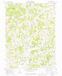
1962 Map of Perryton
USGS Topo · Published 1978About this map
Wakatomika Creek and its many winding tributaries define this rural landscape at the intersection of Licking, Coshocton, Knox, and Muskingum counties. The map documents a traditional agricultural era where small crossroads settlements like Fallsburg and Perryton serve as local hubs for the surrounding farmsteads. Several historical crossing points are preserved here, including a Covered Bridge west of Frampton, the Moran Bridge, and Ashcraft Ford on the eastern edge of the quadrangle.
Find a feature on this map
42 named features on this map. Tap any name to fly to it.
Don’t see what you’re looking for? This feature index may not catch every label — zoom into the map to look around manually.
Map Details
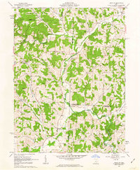
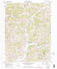
Editions of this 1962 Perryton Map
3 editions found
Other maps of this area

1909 · Newark
USGS Topo · 1:62,500

1910 · Frazeysburg
USGS Topo · 1:62,500

1912 · Gambier
USGS Topo · 1:62,500

1913 · Brinkhaven
USGS Topo · 1:62,500

1914 · Gambier
USGS Topo · 1:62,500

1915 · Brinkhaven
USGS Topo · 1:62,500

1943 · Gambier
USGS Topo · 1:62,500

1950 · Marion
USGS Topo · 1:250,000

1961 · Hanover
USGS Topo · 1:24,000
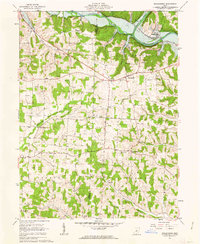
1961 · Walhonding
USGS Topo · 1:24,000