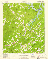
1957 Map of Persimmon Creek
USGS Topo · Published 1958About this map
The landmark Fields of the Wood religious park, featuring the massive Ten Commandments and an Observation tower, dominates the northwestern corner of this territory just above the Hiwassee Lake shoreline. This 1957 field examination captures a transition in Cherokee County where remote mountain gaps meet the controlled waters of the Hiwassee River and Nottely River systems. The landscape is defined by the Nantahala National Forest boundary, which encompasses numerous family-named peaks like Ghormley Mountain and Shuler Mtn. Genealogy researchers will find significant value in the distribution of rural landmarks, including the Friendship settlement and the Hiwassee Dam Sch. The map records a network of country churches such as Mt Carmel Ch and Shady Grove Church, along with numerous family burial grounds like the Kirkland Cem and Taylor Cem, reflecting the deep-rooted community structure prior to modern highway developments.
Find a feature on this map
77 named features on this map. Tap any name to fly to it.
Don’t see what you’re looking for? This feature index may not catch every label — zoom into the map to look around manually.
Map Details
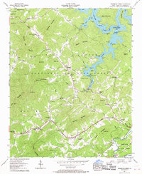
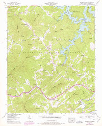
Editions of this 1957 Persimmon Creek Map
3 editions found
Other maps of this area

1888 · Ellijay
USGS Topo · 1:125,000

1892 · Ellijay
USGS Topo · 1:125,000

1893 · Murphy
USGS Topo · 1:125,000

1898 · Ellijay
USGS Topo · 1:125,000

1911 · Ellijay
USGS Topo · 1:125,000

1914 · Murphy
USGS Topo · 1:125,000

1934 · Murphy
USGS Topo · 1:24,000

1934 · Persimmon Creek
USGS Topo · 1:24,000

1934 · McDaniel Bald
USGS Topo · 1:24,000

1934 · Unaka
USGS Topo · 1:24,000