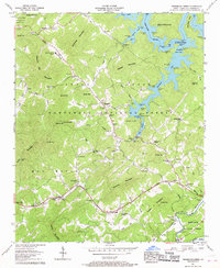
1957 Map of Persimmon Creek
USGS Topo · Published 1968About this map
Fields of the Wood stands as a prominent landmark in this corner of Cherokee County, featuring a Shrine, Ten Commandments, and an Observation tower. The landscape is defined by the high-elevation waters of Hiwassee Lake and the Hiwassee River, where the terrain transitions into the protected ridges of the Nantahal National Forest. Small mountain communities such as Friendship, Postell, and Suit (PO) are connected by winding roads through gaps like Chestnut Gap and Canedy Gap. Local life in the mid-1950s is centered around institutions like the Hiwassee Dam Sch and numerous country churches, including Mt Carmel Ch and Hopewell Ch. Family-named landmarks such as Ghormley Mountain and John Ish High Top reveal the long-standing genealogical roots of the area's residents.
Find a feature on this map
82 named features on this map. Tap any name to fly to it.
Don’t see what you’re looking for? This feature index may not catch every label — zoom into the map to look around manually.
Map Details
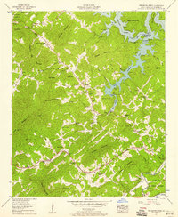
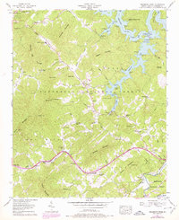
Editions of this 1957 Persimmon Creek Map
3 editions found
Other maps of this area

1888 · Ellijay
USGS Topo · 1:125,000

1892 · Ellijay
USGS Topo · 1:125,000

1893 · Murphy
USGS Topo · 1:125,000

1898 · Ellijay
USGS Topo · 1:125,000

1911 · Ellijay
USGS Topo · 1:125,000

1914 · Murphy
USGS Topo · 1:125,000

1934 · Murphy
USGS Topo · 1:24,000

1934 · Persimmon Creek
USGS Topo · 1:24,000

1934 · McDaniel Bald
USGS Topo · 1:24,000

1934 · Unaka
USGS Topo · 1:24,000