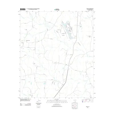
2013 Map of Pert
USGS Topo · Published 2013About this map
Pert and Brushy Creek serve as the primary hubs in this Anderson County landscape, where the East Texas terrain is defined by a dense network of creek drainages and small reservoirs. The map reveals a high concentration of burial sites, including Mt Zion Cem, Coleman Cem, and Hardshell Cem, which provide significant anchor points for local genealogical research. Small water bodies like Pineywoods Lake and Lake Frankston characterize the northeastern portion of the sheet, while the lower elevations are marked by the winding paths of Walnut Cr and Mound Prairie Cr. The presence of the Anderson Camp Ground and several family-named cemeteries suggests a long-established community structure tied to the land and its waterways, accessible through a web of county roads and state highways like FM-315 and FM-837.
Find a feature on this map
76 named features on this map. Tap any name to fly to it.
Don’t see what you’re looking for? This feature index may not catch every label — zoom into the map to look around manually.
Map Details
Editions of this 2013 Pert Map
This is the sole edition of this map. No revisions or reprints were ever made.
Other maps of this area

1946 · Bullard
USGS Topo · 1:62,500

1948 · Bullard
USGS Topo · 1:62,500

1949 · Palestine
USGS Topo · 1:62,500

1949 · Frankston
USGS Topo · 1:62,500

1950 · Palestine
USGS Topo · 1:62,500

1950 · Frankston
USGS Topo · 1:62,500

1951 · Jacksonville
USGS Topo · 1:62,500

1953 · Palestine
USGS Topo · 1:250,000

1956 · Tyler
USGS Topo · 1:250,000

1957 · Palestine
USGS Topo · 1:250,000