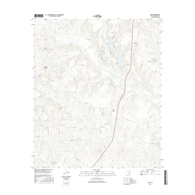
2016 Map of Pert
USGS Topo · Published 2016About this map
Brushy Creek and Pert anchor this portion of Anderson County, characterized by a series of north-south flowing tributaries that feed into larger creek systems. The landscape is defined by the winding paths of Indian Cr, Hurricane Cr, and Mound Prairie Cr which cut through the moderately elevated terrain. Several significant bodies of water, including Lake Frankston and Pineywoods Lake in the north, suggest a legacy of local water management and recreation within the rural surroundings.
Find a feature on this map
67 named features on this map. Tap any name to fly to it.
Don’t see what you’re looking for? This feature index may not catch every label — zoom into the map to look around manually.
Map Details
Editions of this 2016 Pert Map
This is the sole edition of this map. No revisions or reprints were ever made.
Other maps of this area

1946 · Bullard
USGS Topo · 1:62,500

1948 · Bullard
USGS Topo · 1:62,500

1949 · Palestine
USGS Topo · 1:62,500

1949 · Frankston
USGS Topo · 1:62,500

1950 · Palestine
USGS Topo · 1:62,500

1950 · Frankston
USGS Topo · 1:62,500

1951 · Jacksonville
USGS Topo · 1:62,500

1953 · Palestine
USGS Topo · 1:250,000

1956 · Tyler
USGS Topo · 1:250,000

1957 · Palestine
USGS Topo · 1:250,000