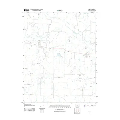
2012 Map of Peru
USGS Topo · Published 2012About this map
Peru and Niotaze anchor this Chautauqua County landscape, where the Chautauqua Hills roll toward the winding course of the Little Caney River. The settlement pattern follows a grid of rural roads, including Dalton Rd and Cowboy Rd, revealing a quiet agricultural and energy-producing district. Significant local history is preserved in the high density of family and community burial grounds, such as Booth Cem, Mooney Cem, and Alford Cem, scattered across the plains. Industrial activity is concentrated at the Niotaze Oil Field, signaling the region's reliance on mineral extraction alongside its creek-fed ranching lands. Waterways like Middle Caney Cr and Thunderbolt Cr carve through the terrain, defining the natural boundaries of the various townships and farmsteads near Mantansas.
Find a feature on this map
58 named features on this map. Tap any name to fly to it.
Don’t see what you’re looking for? This feature index may not catch every label — zoom into the map to look around manually.
Map Details
Editions of this 2012 Peru Map
This is the sole edition of this map. No revisions or reprints were ever made.
Other maps of this area

1885 · Sedan
USGS Topo · 1:125,000

1886 · Independence
USGS Topo · 1:125,000

1889 · Sedan
USGS Topo · 1:125,000

1894 · Independence
USGS Topo · 1:125,000

1901 · Nowata
USGS Topo · 1:125,000

1905 · Independence
USGS Topo · 1:125,000

1909 · Pawhuska
USGS Topo · 1:125,000

1910 · Pawhuska
USGS Topo · 1:125,000

1914 · Nowata
USGS Topo · 1:125,000

1947 · Joplin
USGS Topo · 1:250,000