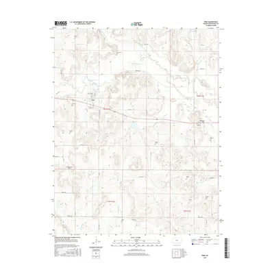
2015 Map of Peru
USGS Topo · Published 2015About this map
Chautauqua Hills define the rolling topography of this region, where numerous creeks and small rivers carve through the landscape of Chautauqua County. The town of Peru serves as a primary settlement point, established along the banks of Middle Caney Creek. To the east, the community of Niotaze sits near Lake Cr, illustrating the historical importance of water access for these rural Kansas prairie towns.
Find a feature on this map
53 named features on this map. Tap any name to fly to it.
Don’t see what you’re looking for? This feature index may not catch every label — zoom into the map to look around manually.
Map Details
Editions of this 2015 Peru Map
This is the sole edition of this map. No revisions or reprints were ever made.
Other maps of this area

1885 · Sedan
USGS Topo · 1:125,000

1886 · Independence
USGS Topo · 1:125,000

1889 · Sedan
USGS Topo · 1:125,000

1894 · Independence
USGS Topo · 1:125,000

1901 · Nowata
USGS Topo · 1:125,000

1905 · Independence
USGS Topo · 1:125,000

1909 · Pawhuska
USGS Topo · 1:125,000

1910 · Pawhuska
USGS Topo · 1:125,000

1914 · Nowata
USGS Topo · 1:125,000

1947 · Joplin
USGS Topo · 1:250,000