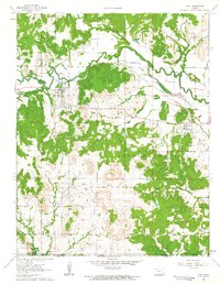
1962 Map of Peru
USGS Topo · Published 1963About this map
The Missouri Pacific Railroad cuts across this Chautauqua County landscape, anchoring the settlements of Peru and Niotaze during the early 1960s. The region is defined by its extensive Oil Field operations, which dot the hills between the Middle Caney River and the Little Caney River. A prominent surveyor's line, the Old Indian Treaty Boundary, runs east-to-west through the southern portion of the quadrangle, serving as a reminder of earlier territorial divisions.
Find a feature on this map
28 named features on this map. Tap any name to fly to it.
Don’t see what you’re looking for? This feature index may not catch every label — zoom into the map to look around manually.
Map Details
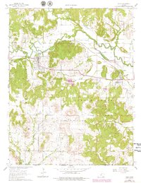
Editions of this 1962 Peru Map
2 editions found
Other maps of this area

1885 · Sedan
USGS Topo · 1:125,000

1886 · Independence
USGS Topo · 1:125,000

1889 · Sedan
USGS Topo · 1:125,000

1894 · Independence
USGS Topo · 1:125,000

1901 · Nowata
USGS Topo · 1:125,000

1905 · Independence
USGS Topo · 1:125,000

1909 · Pawhuska
USGS Topo · 1:125,000

1910 · Pawhuska
USGS Topo · 1:125,000

1914 · Nowata
USGS Topo · 1:125,000

1947 · Joplin
USGS Topo · 1:250,000