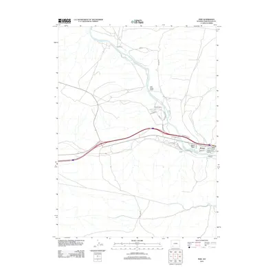
2012 Map of Peru
USGS Topo · Published 2012About this map
The Green River carves a winding path through this portion of Sweetwater County, creating a corridor for early ranching and later residential expansion. Historically significant agricultural holdings like Shaul Ranch and Gaensslen Ranch occupy the northern reaches of the river valley, where water sources like Milk Ranch Wash and Alkali Cr join the main flow. The map highlights a distinct shift in land use toward the southeast, where clustered developments including James Town, Riovista, and Riview have emerged near the river's edge.
Find a feature on this map
27 named features on this map. Tap any name to fly to it.
Don’t see what you’re looking for? This feature index may not catch every label — zoom into the map to look around manually.
Map Details
Editions of this 2012 Peru Map
This is the sole edition of this map. No revisions or reprints were ever made.
Other maps of this area

1954 · Rock Springs
USGS Topo · 1:250,000

1957 · Mc Kinnon Junction
USGS Topo · 1:62,500

1957 · Firehole Basin
USGS Topo · 1:62,500

1958 · Rock Springs
USGS Topo · 1:250,000

1961 · Scott Spring
USGS Topo · 1:24,000

1961 · Peru
USGS Topo · 1:24,000

1961 · Austin Ranch
USGS Topo · 1:24,000

1961 · Stevens Flat
USGS Topo · 1:24,000

1961 · Green River
USGS Topo · 1:24,000

1961 · Bryan
USGS Topo · 1:24,000