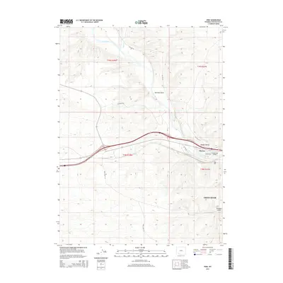
2015 Map of Peru
USGS Topo · Published 2015About this map
The Green River flows through a high-altitude desert landscape in Sweetwater County, creating a central corridor for transport and settlement. Small communities like James Town and Riovista are situated along the riverbanks, while the historic namesake settlement of Peru sits further west near the Peru Cutoff Rd. The topography is defined by significant elevation changes, noted by features such as Greasewood Canyon, Telephone Canyon, and the distinctive Fish Cut.
Find a feature on this map
21 named features on this map. Tap any name to fly to it.
Don’t see what you’re looking for? This feature index may not catch every label — zoom into the map to look around manually.
Map Details
Editions of this 2015 Peru Map
This is the sole edition of this map. No revisions or reprints were ever made.
Other maps of this area

1954 · Rock Springs
USGS Topo · 1:250,000

1957 · Mc Kinnon Junction
USGS Topo · 1:62,500

1957 · Firehole Basin
USGS Topo · 1:62,500

1958 · Rock Springs
USGS Topo · 1:250,000

1961 · Scott Spring
USGS Topo · 1:24,000

1961 · Peru
USGS Topo · 1:24,000

1961 · Austin Ranch
USGS Topo · 1:24,000

1961 · Stevens Flat
USGS Topo · 1:24,000

1961 · Green River
USGS Topo · 1:24,000

1961 · Bryan
USGS Topo · 1:24,000