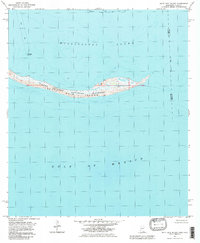
1982 Map of Petit Bois Island
USGS Topo · Published 1983About this map
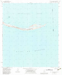
Petit Bois Island sits at the threshold of the deep gulf and the protected waters of the Mississippi Sound, as documented in this early 1980s topographical study. Part of the Gulf Islands National Seashore, the barrier island is shown with its intricate network of coastal marshes and low-lying terrain. The map captures the maritime infrastructure of the era, including the Horn Island Lighthouse and the northern channel of the Intracoastal Waterway Project Depth 12 Feet. Notable for its boundary details, the sheet marks the state line where Alabama meets Mississippi, as well as the county division between Mobile and Jackson counties. The survey reflects a landscape defined by shifting sands and navigational hazards, indicated by various piles and a secondary light guiding vessels through the passage between the sound and the open Gulf of Mexico.
Find a feature on this map
11 named features on this map. Tap any name to fly to it.
Don’t see what you’re looking for? This feature index may not catch every label — zoom into the map to look around manually.
Map Details
Editions of this 1982 Petit Bois Island Map
2 editions found
Other maps of this area

1921 · Grand Bay
USGS Topo · 1:62,500

1921 · Petit Bois Island
USGS Topo · 1:62,500

1941 · Horn Island
USGS Topo · 1:62,500

1942 · Petit Bois Island
USGS Topo · 1:62,500

1942 · Horn Island
USGS Topo · 1:62,500

1943 · Pascagoula
USGS Topo · 1:62,500

1943 · Grand Bay
USGS Topo · 1:62,500

1953 · Mobile
USGS Topo · 1:250,000

1955 · Pascagoula
USGS Topo · 1:62,500

1957 · Mobile
USGS Topo · 1:250,000