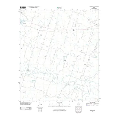
2010 Map of Pettibone
USGS Topo · Published 2010About this map
Pettibone and the surrounding Milam County prairie are defined by the winding course of the Little River, which meanders through the southern half of the landscape. This 2010 topographic record highlights a region deeply tied to its rural roots and genealogy, evidenced by the high density of family burial grounds such as Dansby Cemetery, Renshaw Cemetery, and Battle Cemetery. These landmarks, along with small community centers like Salem and Buckholts, serve as anchors for local history research.
Find a feature on this map
55 named features on this map. Tap any name to fly to it.
Don’t see what you’re looking for? This feature index may not catch every label — zoom into the map to look around manually.
Map Details
Editions of this 2010 Pettibone Map
This is the sole edition of this map. No revisions or reprints were ever made.
Other maps of this area

1885 · Taylor
USGS Topo · 1:125,000

1887 · Taylor
USGS Topo · 1:125,000

1894 · Taylor
USGS Topo · 1:125,000

1910 · Buckholts
USGS Topo · 1:24,000

1912 · Buckholts
USGS Topo · 1:31,680

1954 · Austin
USGS Topo · 1:250,000

1956 · Milano
USGS Topo · 1:62,500

1961 · Cameron
USGS Topo · 1:24,000

1961 · Rockdale East
USGS Topo · 1:24,000

1962 · Rockdale West
USGS Topo · 1:24,000