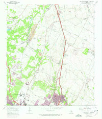
1968 Map of Pflugerville West
USGS Topo · Published 1974About this map
The Williamson and Travis county line divides this landscape of expanding north Austin suburbs and traditional Central Texas farming communities. Small settlements like Merrelltown and Waters Park are visible alongside emerging mid-century residential developments such as Eubank Acres, Kings Village, and Walnut Forest. The era's transportation network is defined by a dense intersection of railroads, including the Missouri Pacific, Southern Pacific, and Missouri Kansas Texas, which facilitated the movement of materials from local quarries.
Find a feature on this map
63 named features on this map. Tap any name to fly to it.
Don’t see what you’re looking for? This feature index may not catch every label — zoom into the map to look around manually.
Map Details
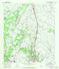
Editions of this 1968 Pflugerville West Map
2 editions found
Other maps of this area

1893 · Georgetown
USGS Topo · 1:125,000

1896 · Austin
USGS Topo · 1:125,000

1897 · Austin
USGS Topo · 1:125,000

1910 · Austin
USGS Topo · 1:125,000

1925 · Georgetown 4-d
USGS Topo · 1:48,000

1928 · Round Rock
USGS Topo · 1:62,500

1932 · Mt. Bonnell
USGS Topo · 1:62,500

1949 · Round Rock
USGS Topo · 1:62,500

1951 · Round Rock
USGS Topo · 1:62,500

1954 · Austin East
USGS Topo · 1:24,000